Stream Bank Stabilization Study
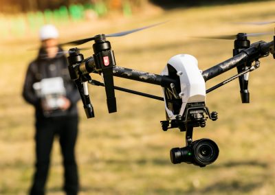
- Project Type: Unmanned Aerial Services – Survey
About this Project
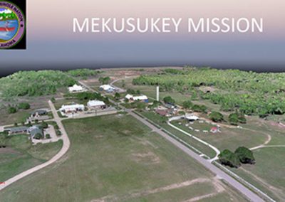
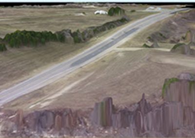
The primary purpose of this project is to stabilize the bank and reconstruct the roadway to meet the County Road Design Standards. EST provided drone services to gather information on 3,600 acres and identify possible bank protection methods to reduce the risk of the river changing course at this location.
Services provided
- Survey
- Inspections
- Mapping

Project Photos