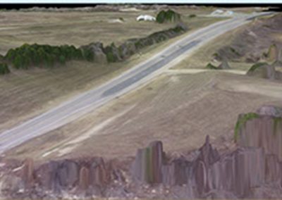
Cedar Lane Roadway
- Customer: City of Norman
- Project Type: Unmanned Aerial Services – Survey
About this Project
EST provided a two-mile drone survey that included a surface triangulation, 3-D model and one-foot contours of the entire site. Final deliverables also included an aerial image of the site as a TIFF file and a KML file overlaid in Google Earth to show the current site conditions.
Services provided
- Survey
- Inspections
- Mapping

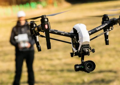
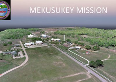
Project Photos